

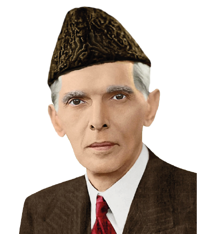
The first thing that I want to tell you is this, that you should not be influenced by any political pressure, by any political party or individual politician. If you want to raise the prestige and greatness of Pakistan, you must not fall a victim to any pressure, but do your duty as s...
Quaid-e-Azam Muhammad Ali Jinnah
Founder of Pakistan
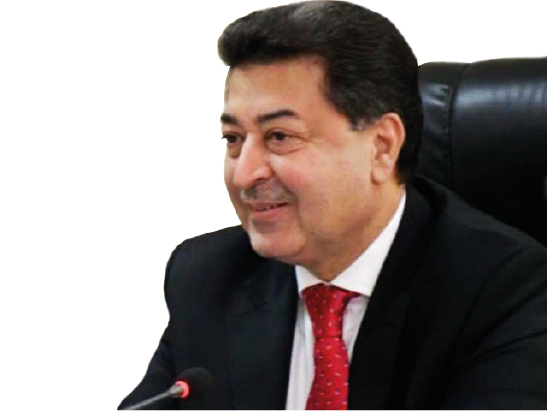
In my opinion, it is extremely important that we continue our journey of reforming and improving our electoral system. Electoral process is the key instrument in continuation of democracy, as transparent and high quality elections give credibility and strength to a democratic system....
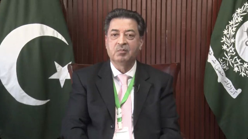
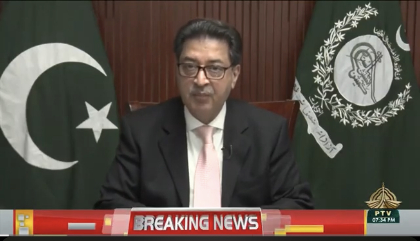
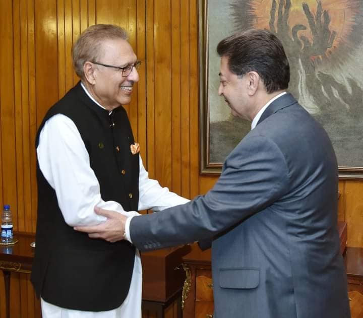
Mr. Sikandar Sultan Raja
Hon’ble Chief Election Commissioner of Pakistan
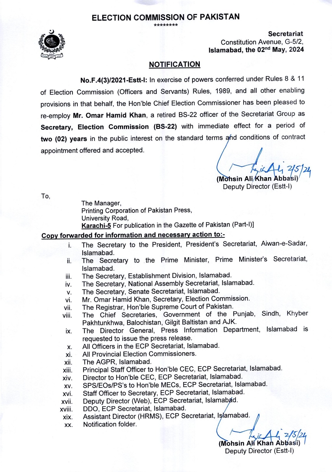
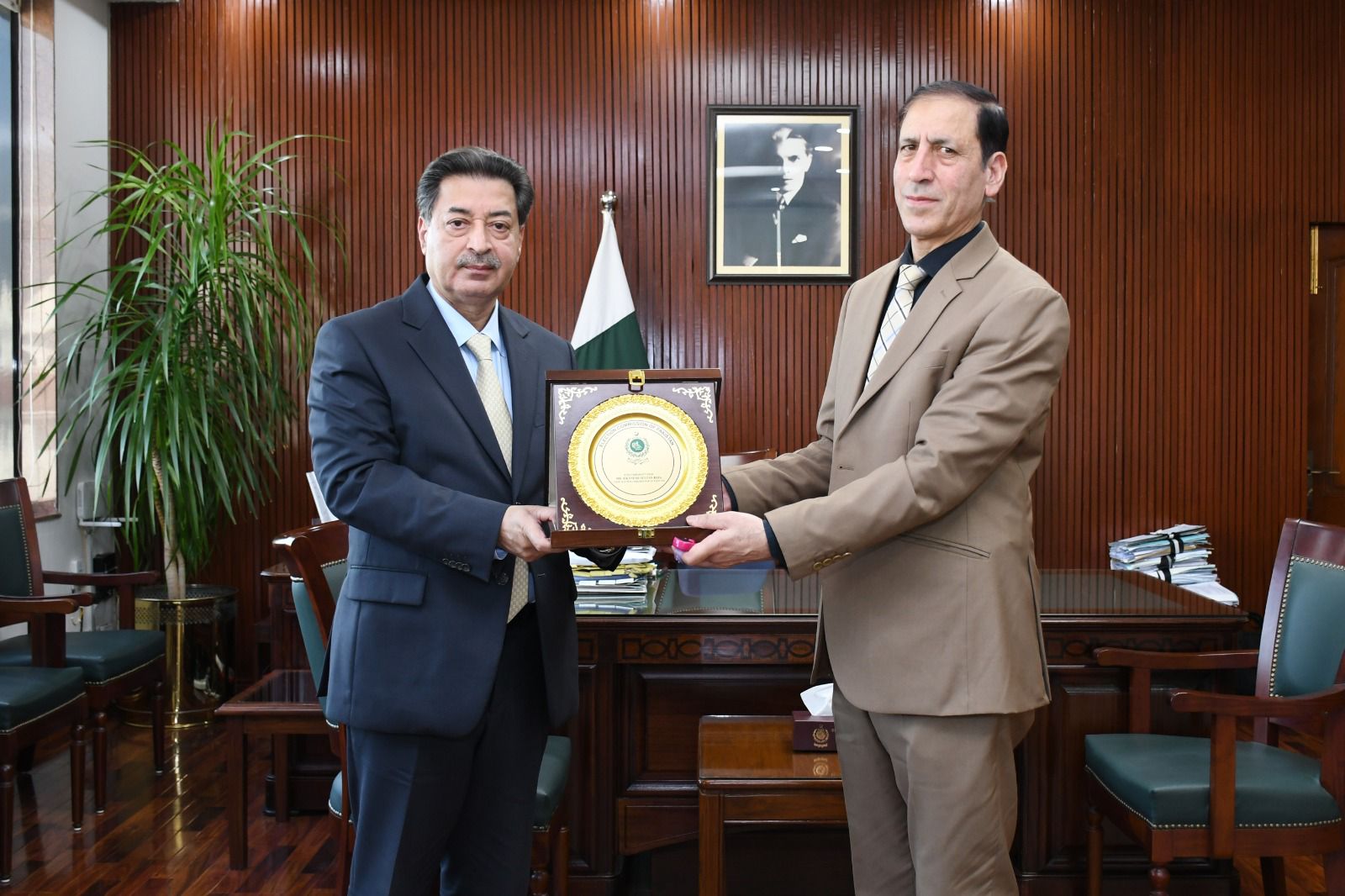
Mr. Omar Hamid Khan
Secretary ECP
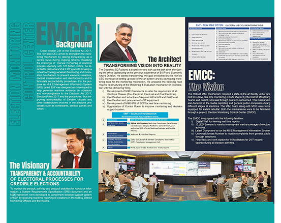
Election Monitoring Control Center EMCC
Election Monitoring Control Center EMCC , a state of the art facility of Election Commission of Pakistan under one roof to recieve real time Monitoring reports & instant redressal through Quarters concerned .
First Pictorial Magazine
Election Commission of Pakistan is known for its conduct of elections but it also has a robust and progressive side with creative, multicultural activities that are beautifully photographed time to time through year.
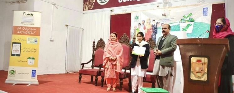
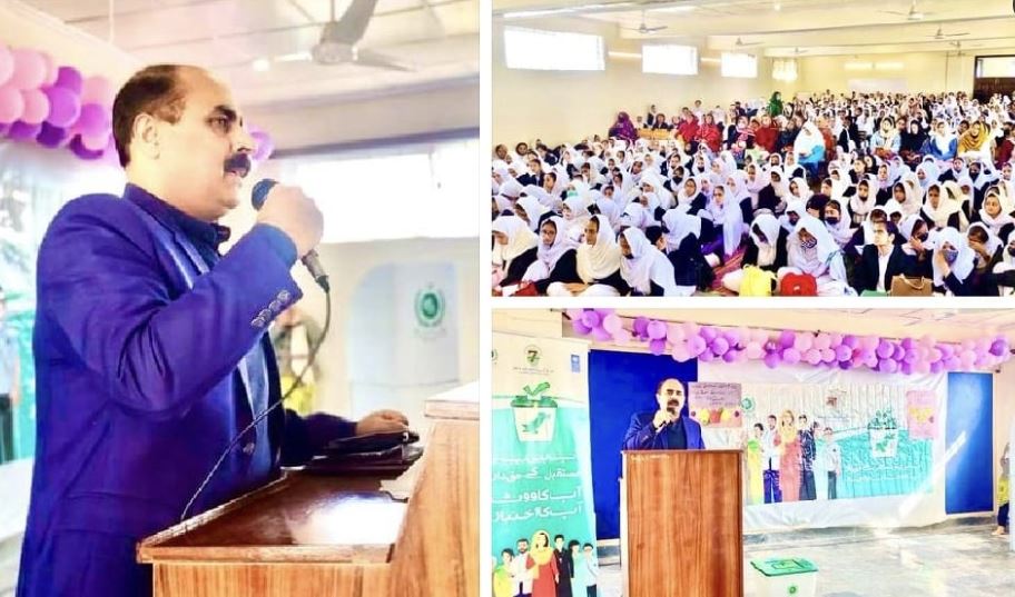
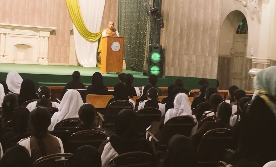
Students’ Voter Education and Awareness Program
ECP initiated student’s orientation sessions since November 2021, to ensure the participation of youth and increasing their turn out in LG-Elections and GE-2023 across the country since then around 308 students’ orientation sessions have been conducted.
Bridge Training on Political Finance
The Bridge Training on Political Finance has been arranged for 24 Participants at Marriot Hotel, Islamabad from 19th to 22nd September 2022

In Service Training
In Service Training (IST) is being conducted to equip the 24 new inductees with Election Management, General Administration, Office Procedures, Relevant Laws and Practices and other necessary skills related to Leadership and Management from 07th to 28th September 2022 at Pakistan Elec...

Painting Competition
Election Commission of Pakistan organised all-Pakistan Painting Competition on the theme “Your Vote; To a Promising Future” among enrolled students of Universities and Colleges of Pakistan.


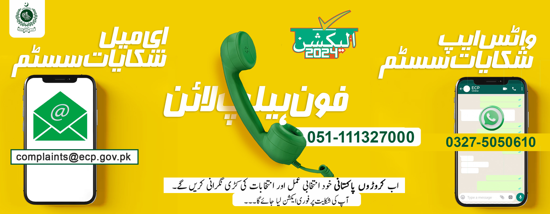
ECP’s Tele Helpline 24/7
It’s an Automated pre-recorded voice system;
The service is available round-the-clock 24/7/365;
ECP’s Tele Helpline number is 051-8848888;

Submit New Complaint
Please read these instructions carefully before submitting your complaint. Required fields are marked with *

Check Complaint Status
Check Complaint Status by providing Ticket tracking ID and Email

Latest Updates


Complaint Management

Elections

Scanned Forms

Parties and Candidates

Training Material


Press release reading PP 149 - Bye-Election 2024
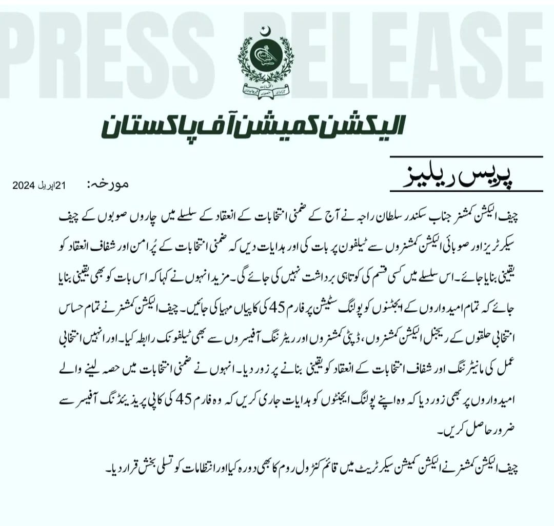
Press release regarding directions conveyed to Chief Secretaries , PECs in connection with bye Elections by the Hon’ble CEC
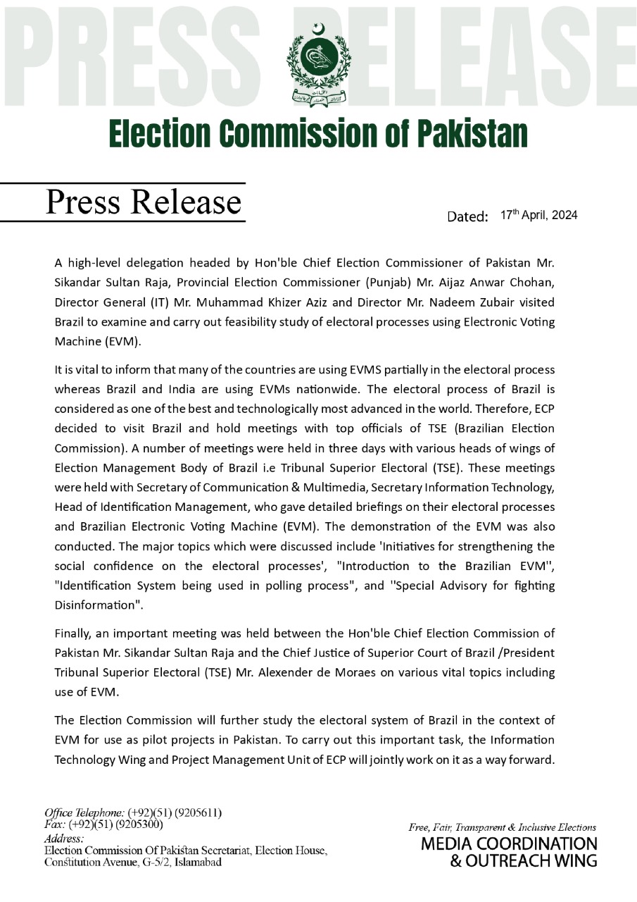
Press Release : High level delegation headed by Hon’ble CEC visited Brazil to examine and feasibility study of electoral processes using EVM (English)
Press Release : High level delegation headed by Hon’ble CEC visited Brazil to examine and feasibility study of electoral processes using EVM (Urdu)


Hon’ble CEC Mr. Sikandar Sultan Raja statement about poll day(08-02-2024)

Hon’ble CEC Message For Conducting Successful General Elections 2024 (English)
Hon’ble CEC Message For Conducting Successful General Elections 2024 (Urdu)
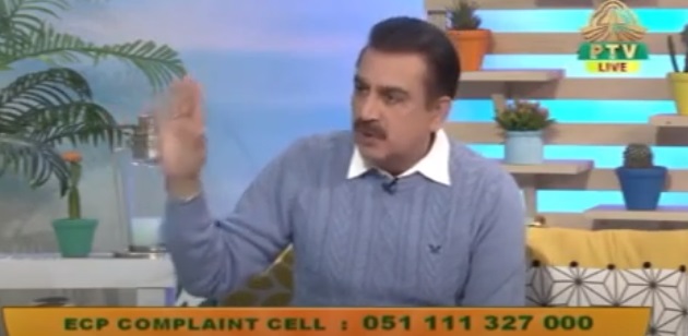
Informative video regarding ECP Complaint Cell
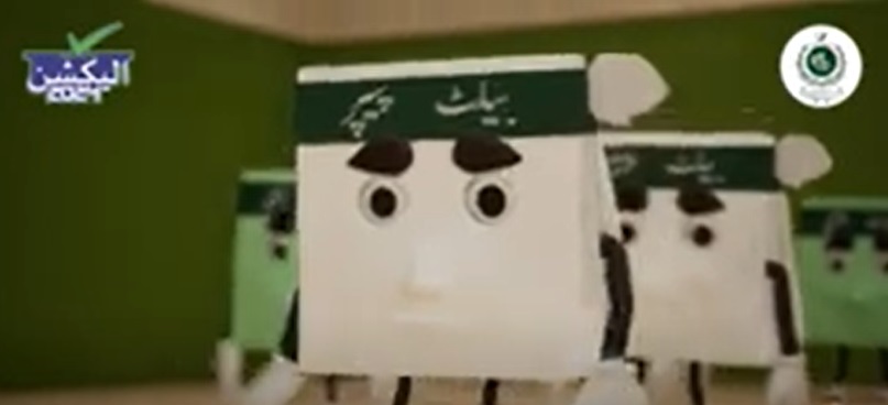
Awareness Video - Prevent Ballot Paper from Rejection
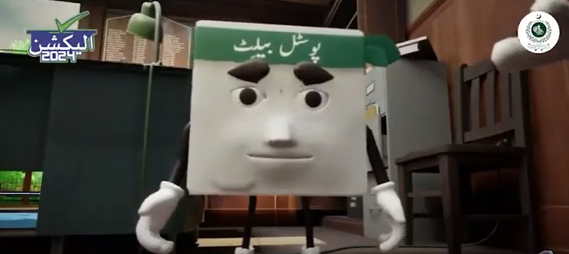
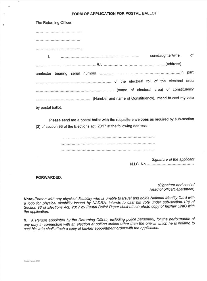
Informative Video regarding Postal Ballot
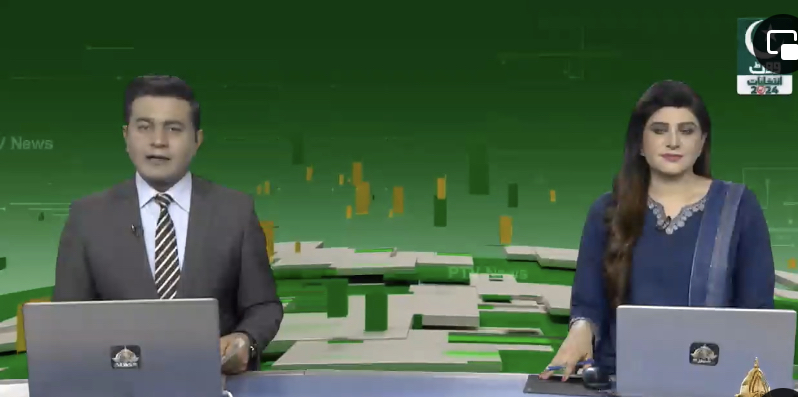
PTV report on EMS
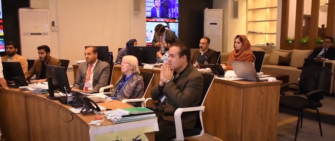
Hon’ble CEC met UNDP international observers at EMCC
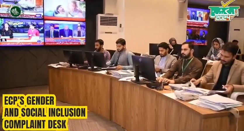
Gender Desk at EMCC (Election Monitoring Control Center)
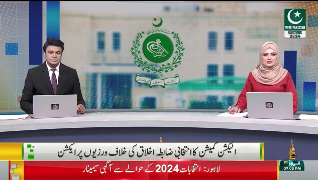
PTV report on EMCC (Election Monitoring Control Center)
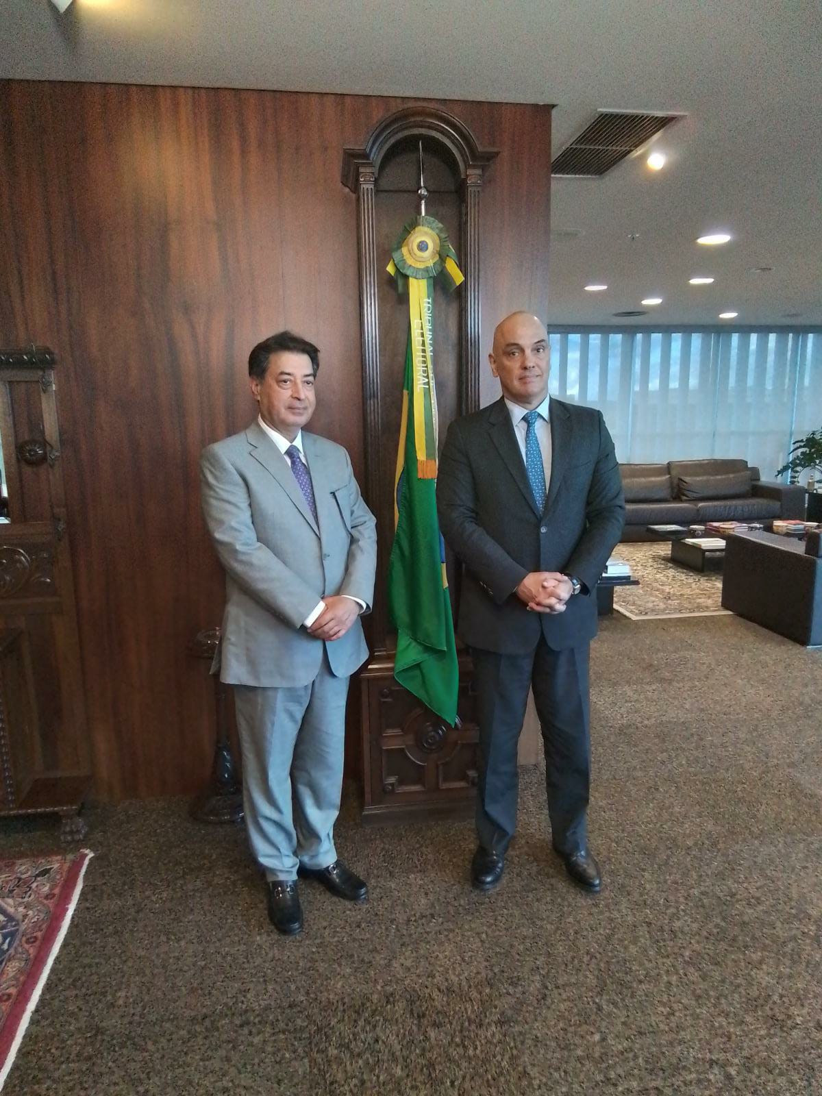
Hon'ble Chief Election Commissioner of Pakistan Mr. Sikandar Sultan Raja meeting with Chief Justice of Superior Court / President of Tribunal Superior Electoral (TSE) Brazil

High level delegation headed by Hon’ble CEC visited Brazil to examine and feasibility study of electoral processes using EVM
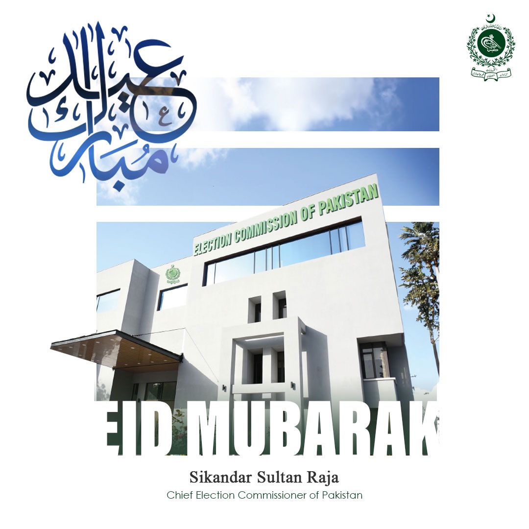
Eid Mubarak
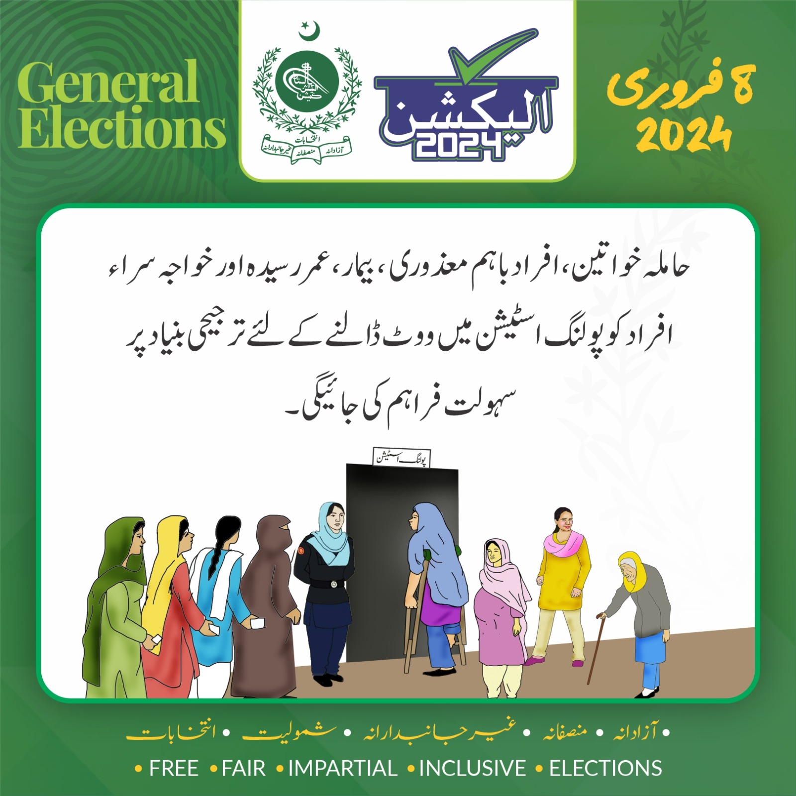
Informative Banner - General Election 2024
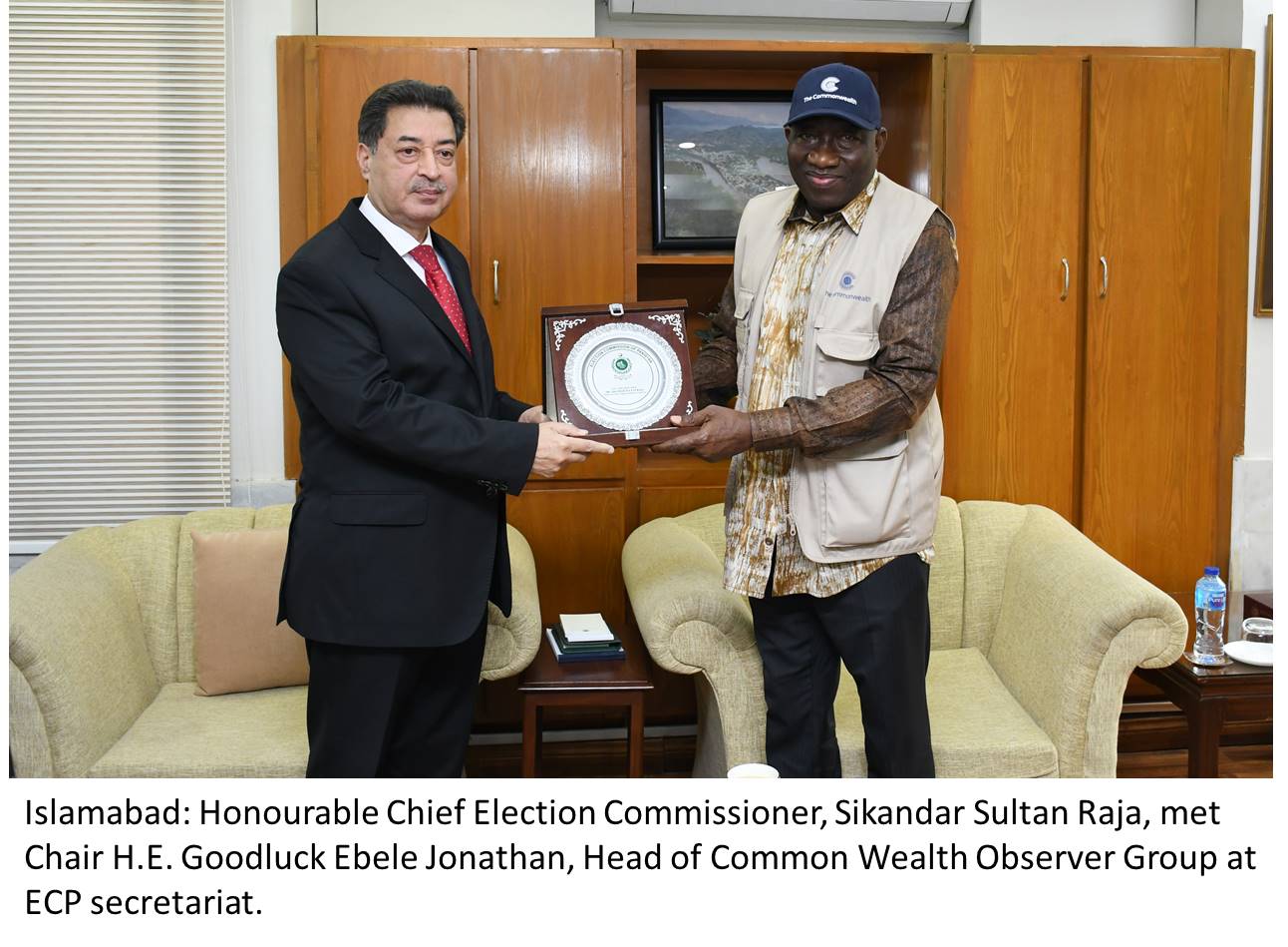
International Observer Group visit to ECP Secretariat
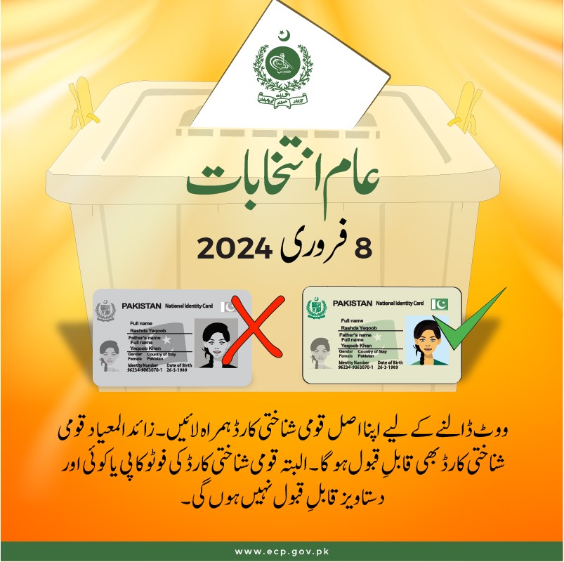
Informative Banner for Poll Day - General Elections 2024

Election Monitoring Control Center EMCC
Meeting of Hon’ble CEC with Caretaker CM KP in ECP Secretariat Islamabad
Hon'ble Election Commission Meeting in President House
Hon'ble Election Commission Meeting in Punjab Sindh Balochistan for upcoming General Elections in Pakistan
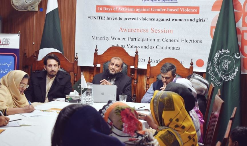
An awareness session was held in the office of Provincial Election Commission Khyber Pakhtunkhwa.
District Election Commissioner Nowshera Muhammad Zahir Khan conducted a voter awareness session in MC Office, Nowshera.
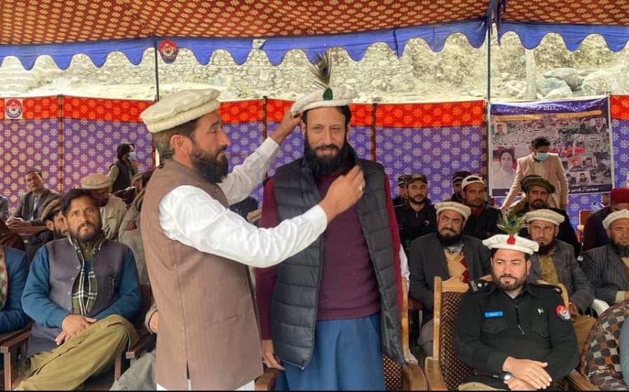
A voter awareness session was held in GHS, Seo, Tehsil Seo, Kohistan Upper.
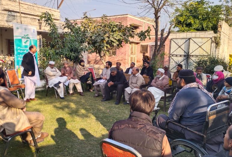
An awareness session was conducted by the District Election Commissioner D.I.Khan.
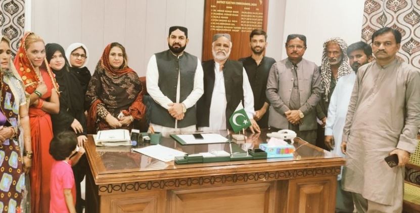
District Election Commissioner, Badin, Sindh to raise awareness regarding upcoming General elections & casting of vote by youth , especially women for Mainstreaming.
Awareness campaign of District Election Commissioner Abbottabad to raise awareness about the importance of election and vote among the youth, especially women.
Vote Awareness workshop at Government Girls Degree College Malikpora, Abbottabad.
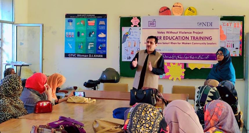
Students Awareness Workshop conducted to mainstream Female & Youth at Frontier College for Women Peshawar.
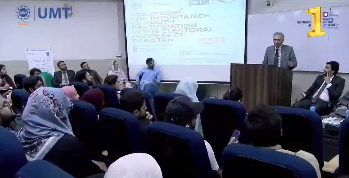
Q&As with the students and faculty members at UMT Lahore at youth engagement & voter awareness session in collaboration with PILDAT.
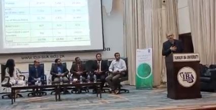
Students Awareness Workshop at IBA Sukkur to mainstream Youth into Electoral Process.